Underground Imaging: Collaboration between TerraCarta and Shell in Trinidad & Tobago
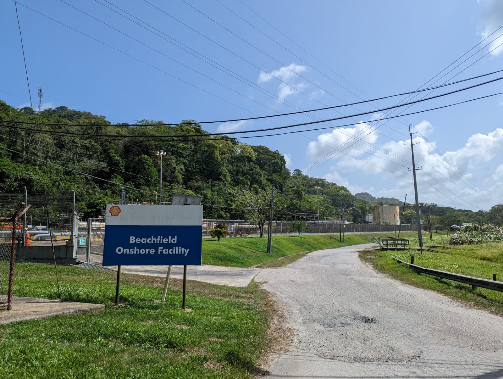
In May, two specialists from TerraCarta traveled to Port of Spain, Trinidad & Tobago, to assist Shell with mapping underground infrastructure at the Shell BeachfieldFacility using the Underground Imaging approach. TerraCarta spent a week on-site supporting L&S Surveying, a local survey company, in gathering high-quality radar data across the entire area. The data were then uploaded to the cloud and processed by our specialists in the Netherlands, resulting in an accurate 3D map that was integrated with the Digital Twins that were already in place for all Shell TnT assets.
The delivered results are valuable for engineers as they assess the risks and feasibility of constructing new infrastructure. Furthermore, integration of the digital 3D results with Shell’s Digital Twin environment ensures that the information is available for asset management and future projects, providing a comprehensive and up-to-date model of the underground infrastructure at the location. We are grateful and proud to have had the opportunity to apply our expertise on an international scale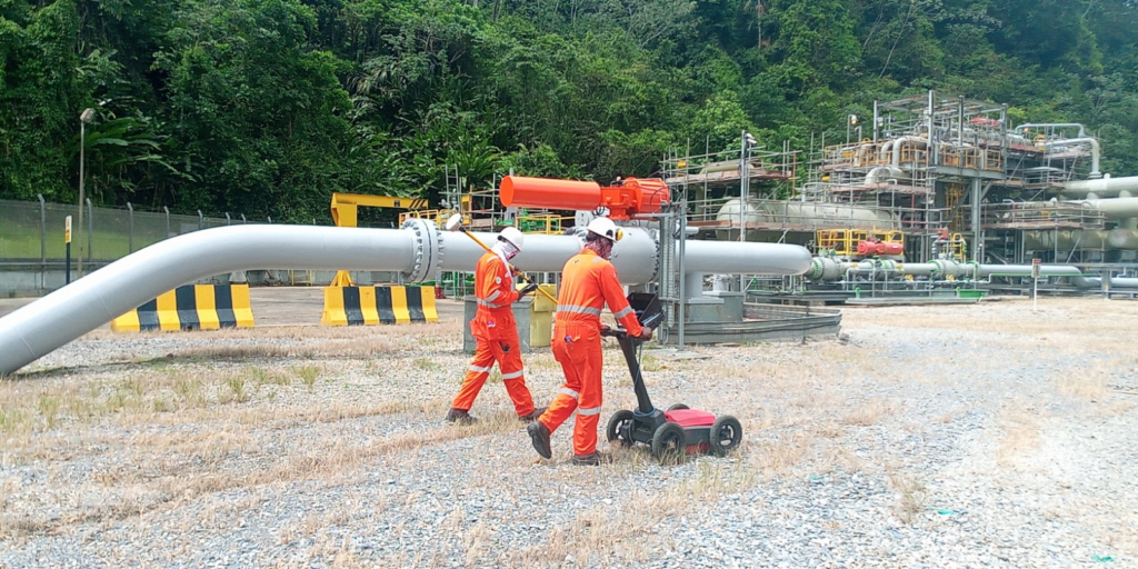
Underground Imaging
Underground Imaging (UGI) is a collaborative effort between Shell, TerraCarta, and Geolitix. It leverages cloud-based technology to establish a standardized and transparent workflow for mapping underground infrastructure and generating high-quality 3D data that can be used globally.
UGI represents a significant milestone inTerraCarta’s development. In addition to executing our own projects, TerraCarta now offers advice to organizations like Shell on managing subsurface utility mapping projects and performs quality assurance, even when these projects are carried out by other parties.