The future of Utility Mapping!
In October we finally met!
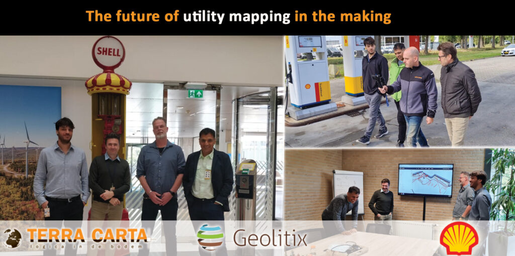
Geolitix, TerraCarta and Shell have been working together on the UGI (Underground Imaging) concept for almost 2 years, and what fun it is to meet each other in person!
From Canada, Argentina, America, India and the Netherlands we had a weekly contact through online meetings but then when you finally meet each other the passion is all around.
Geolitix’ tools, TerraCarta’s practical experience and Shell’s expertise were combined to develop a concept in which utility mapping becomes simple and uniform for both clients and providers.
Ground penetrating radar, Electromagnetic Locating, land survey, pit survey, trial trenching, point cloud data all work together in an environment where artificial intelligence and augmented reality make it much easier for all users to read and understand the data.
Follow our updates where we take you underground to literally take a look into the ground!